
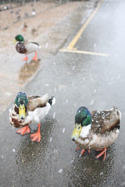
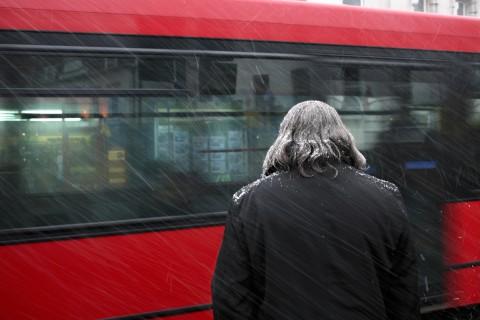
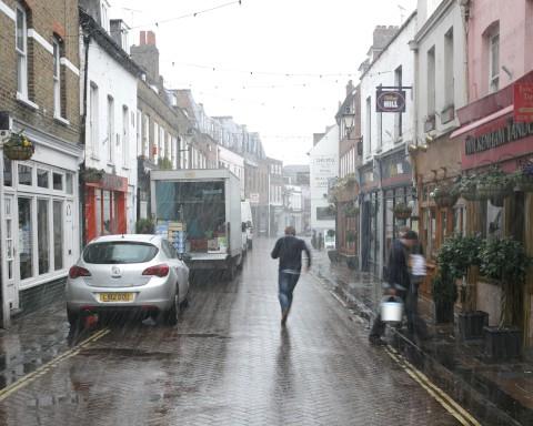
Yet another freezing cold week has descended upon south London and north Surrey as snow showers broke out in the late morning.
Forecasters predicted "light, wintry shower" for London and south east England today, but today's persistent snowfall confirms we are not out of the winter woods yet.
The Met Office said a brisk northeasternly wind will mean the temperature will struggle to rise beyond three degrees this afternoon.
The evening is expected to be mainly dry and cold with mild frost tomorrow morning.
Friday is expected to be a marginally brighter day with a maximum temperature of 7 degrees, but still feeling cold due to the northeasternly wind.
And, mercifully, the weekend forecast is brighter: Saturday should see sunny spells with no showers and a maximum of eight degrees, while Sunday will be overcast and reaching a high of 9 degrees.
So why is it still so cold now that we are supposedly in British Summer Time? Is it due to climate change or just a freakisly long cold snap? Let us know your thoughts...


Comments: Our rules
We want our comments to be a lively and valuable part of our community - a place where readers can debate and engage with the most important local issues. The ability to comment on our stories is a privilege, not a right, however, and that privilege may be withdrawn if it is abused or misused.
Please report any comments that break our rules.
Read the rules hereLast Updated:
Report this comment Cancel